This fact took me entirely by surprise: the land size of Namibia is about 3.5x the land size of Ghana. It was a wow moment for me, especially given that there are some 33 million people in Ghana while Namibia has just under 3.5 million according to their most recent census. I was having a chat with a taxi driver taking me to the Heroes’ Acre – some 10km outside of downtown Windhoek – when the conversation naturally turned to where you are from? It was the driver who asked how big Ghana was in terms of population and it had me immediately searching for the facts about land size. It is quite something to think of the 824,290 km² land size of Namibia compared to the 238,540 km² land size of Ghana.
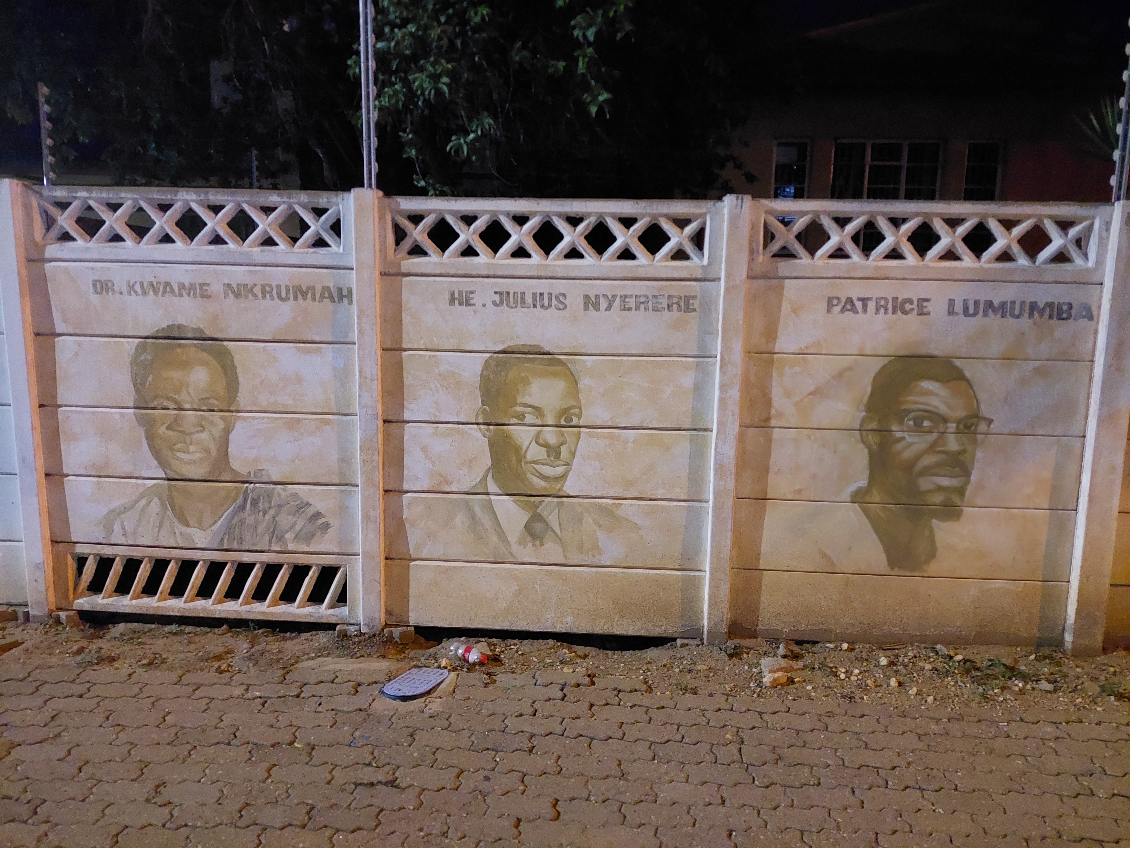
My Urban Studies and Planning background didn’t let me rest from being extra curious about the landscape and spatial planning I witnessed in Namibia. The colonial and postcolonial entanglements in spatial planning of the city is very much evident. For those not aware a brief history: Namibia (South West Africa) was colonized first by Germany who will end up committing genocide between 1904 – 1907 against the Nama and Herero groups in the country – some suggest other ethnic groups also faced their own forms of German annihilation. At the end of the first world war, Germany lost the colony which then came under the rule of Apartheid South African authorities who began to implement the apartheid policies here as well. It was only on 21 March 1990 that Namibia gained independence after years of liberation struggles. Given this the cities of Windhoek and then Swakopmund are clearly planned to keep groups segregated across racial and socio-economic lines. The city center of Windhoek for instance is ‘drained’ of much of it’s life at the end of the day because many of the people return back to the segregated communities. There are however signs of people claiming back the city through cultural and artistic interventions.


I imagine there are a number of BA, MA, MSc and PhD research theses on this topic of spatial planning in Namibia. I therefore claim no originality here as I’m just a curious researcher with some observational thoughts 😊 But that being said, I think I may have chanced upon what might be a rather cool title for anyone interested in doing research on this topic. The title is this: “From Katutura to Matutura: place names and (post)colonial spatial planning in the eyes of local residents in Windhoek and Swakopmund (Namibia)? How did I arrive at this title? Here goes the story..
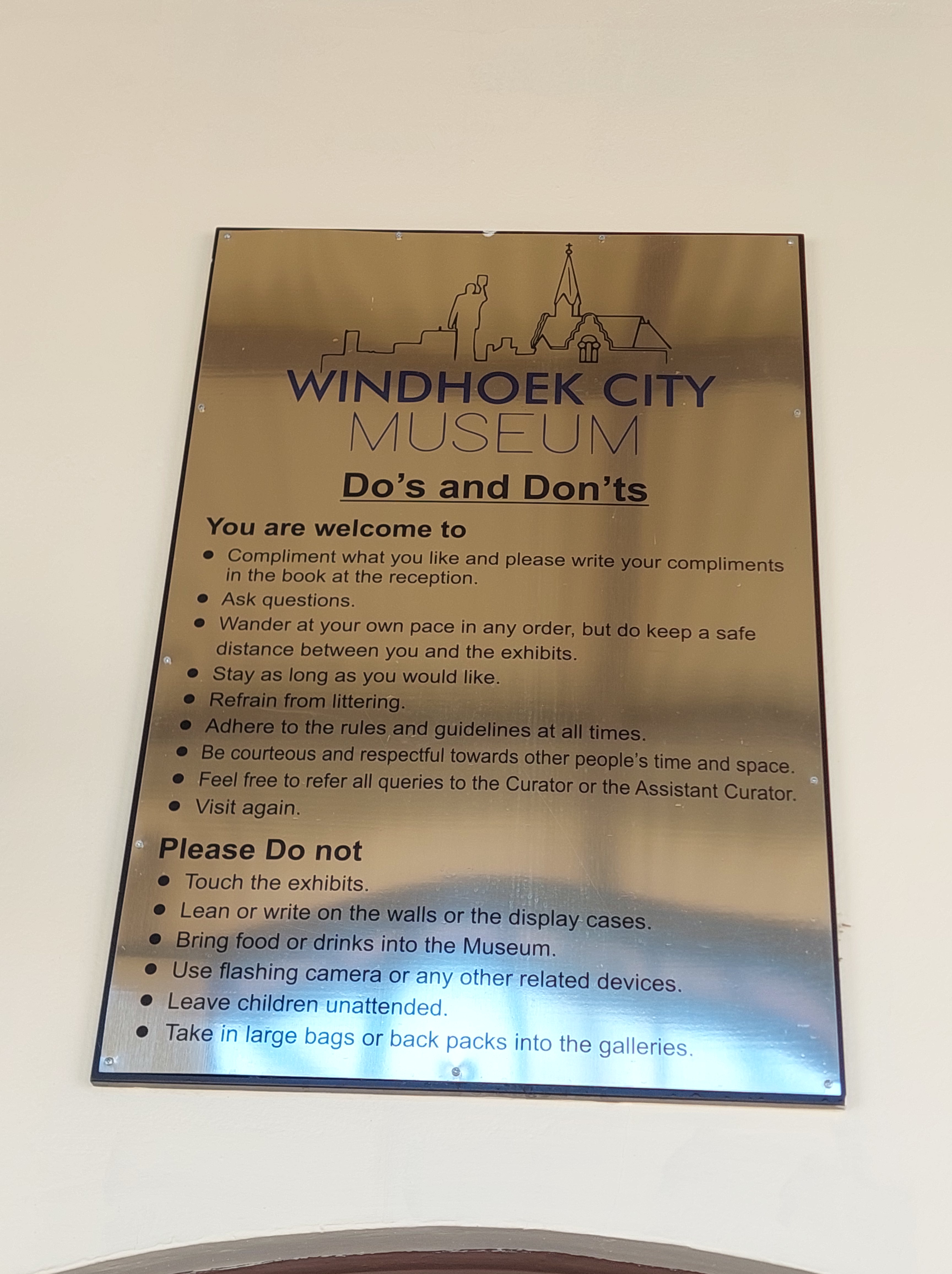
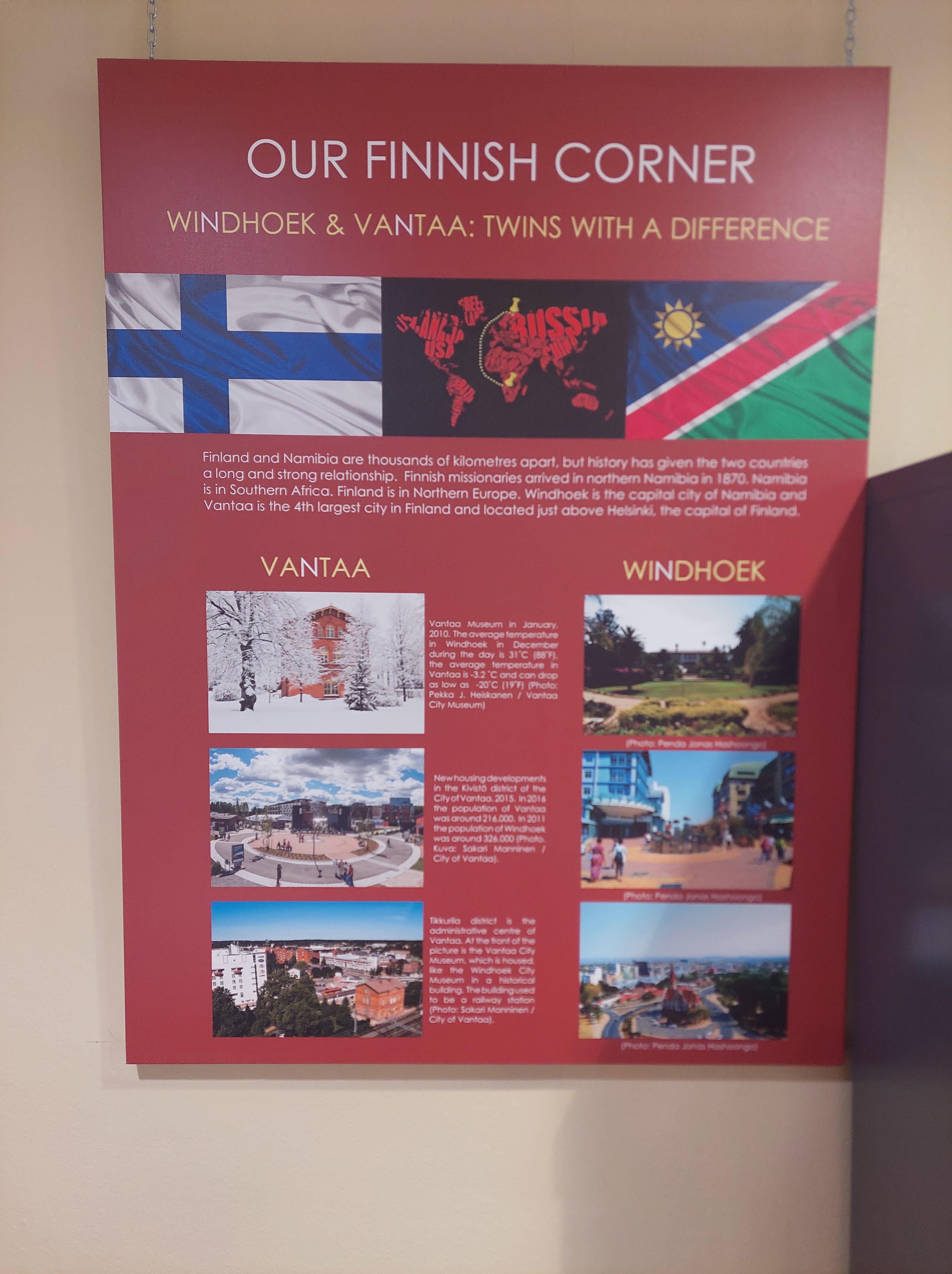
On my second day in Windhoek I had already heard a bit about the township of Katutura when I first went there with my MSc thesis student Henrike for some Kapana and pap. It was not until my third day that I got the bit more of the story. When the Independence Memorial Museum was closed due to a misfunctioning water system, I ended up going to the Windhoek City Museum was as just opened in 2022. This was after learning about what Robots mean in Namibia. Anyhow, so at the Windhoek City Museum, I learned of the history of the city – including it’s connection with Finland through the Finnish Missionaries of the 19th and 20th century. The museum was actually funded in part through the Vantaa-Windhoek Sister City relationship. Many of the exhibition text are therefore in English and Finnish. I wonder how many Finns travel to Namibia for holidays. But I digress too much.
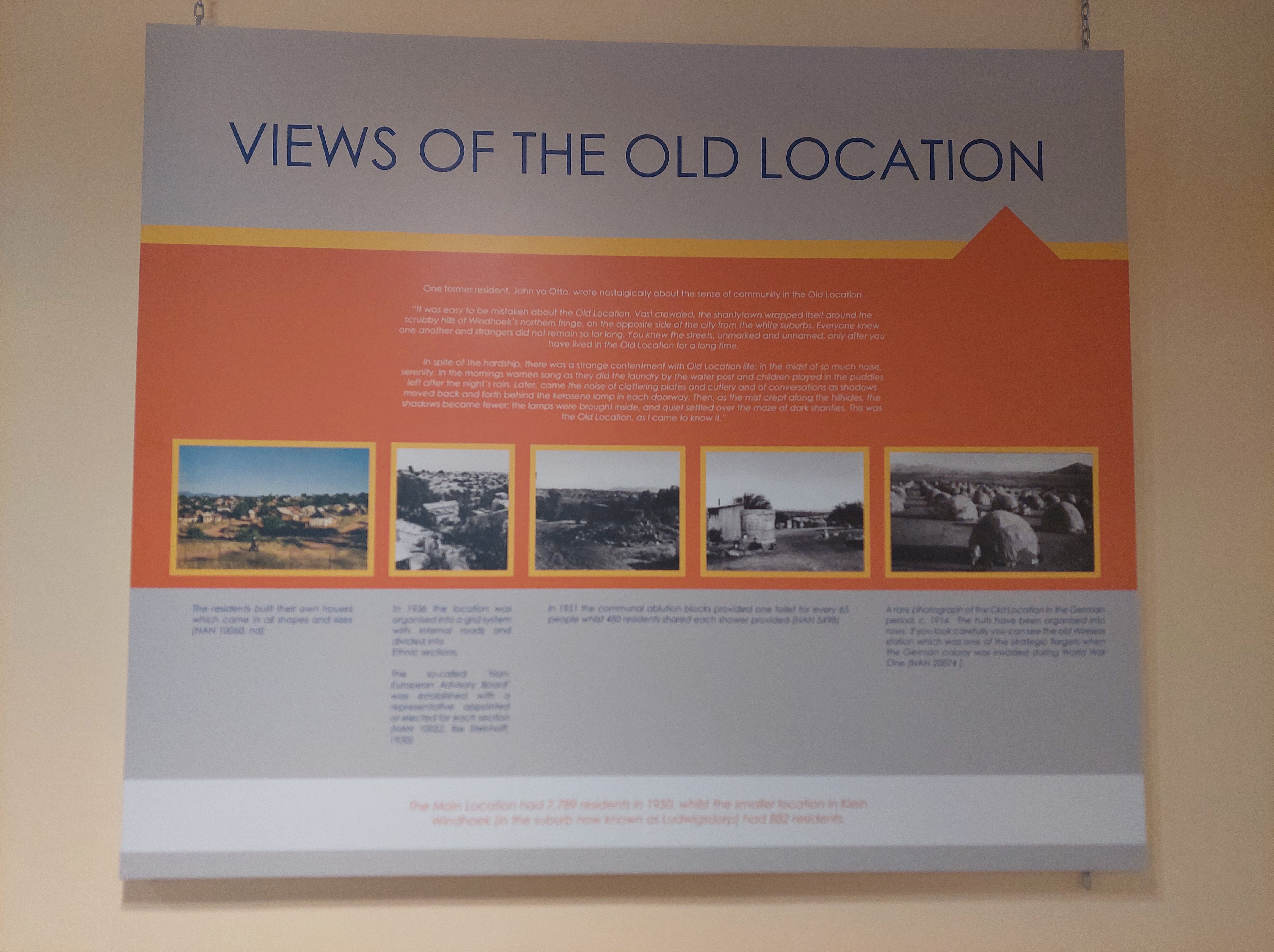
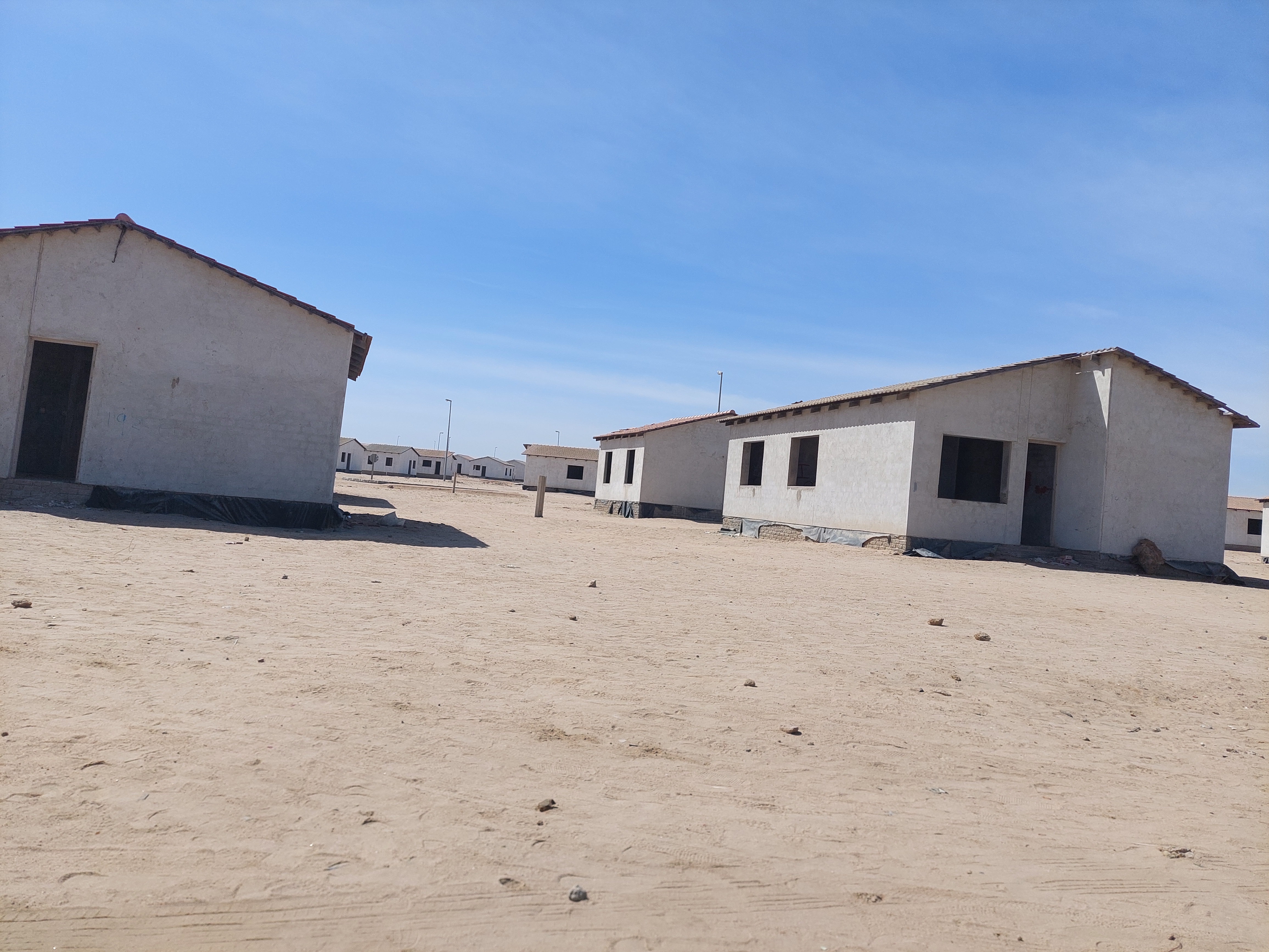
At the museum I got to learn of the forced eviction and brutalities (of a physical, socio-cultural, economic and psychological kind) faced by residents of the ‘Old Location’ in the city. The Apartheid South African government expelled the mixed ethnic communities to outside the city and segregated them into distinct ethnic group locations. It is as part of the resistance and protest that the place was named Katutura in the local language which means “the place we do not want to stay”. While this township has seen some upgrades in social infrastructure the level of impoverishment is still quite clear. As I surveyed the township houses made from corrugated roofing sheets, I was reminded of a couple of lines from that poem from my Literature-in-English class back in Secondary School – Nightfall in Soweto by Oswald Mbuyiseni Mtshali – specifically the 6th stanza. Do check out the full poem if you are curious…
Where is my refuge?
Where am I safe?
Not in my matchbox house
Where I barricade myself against nightfall.
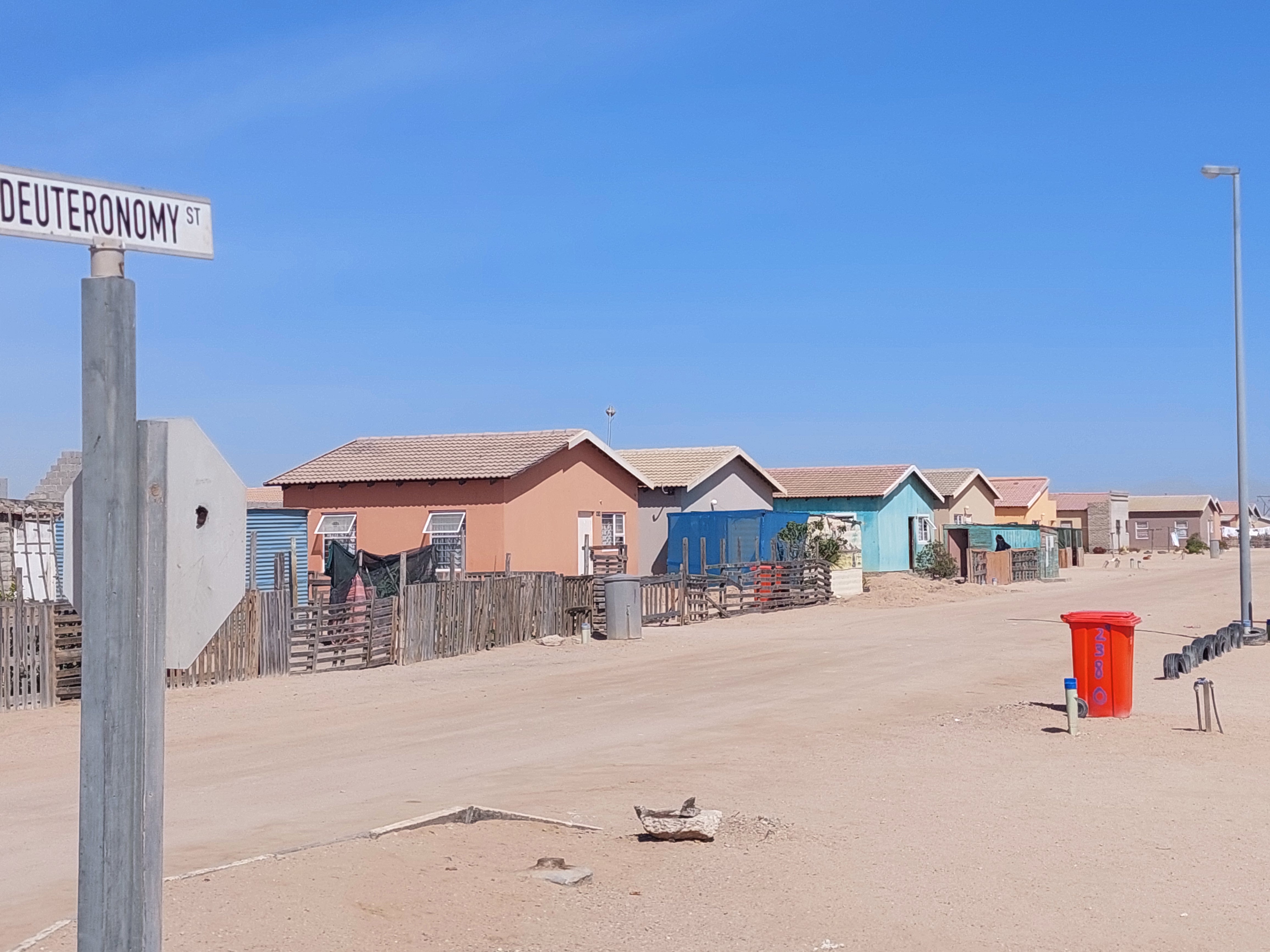
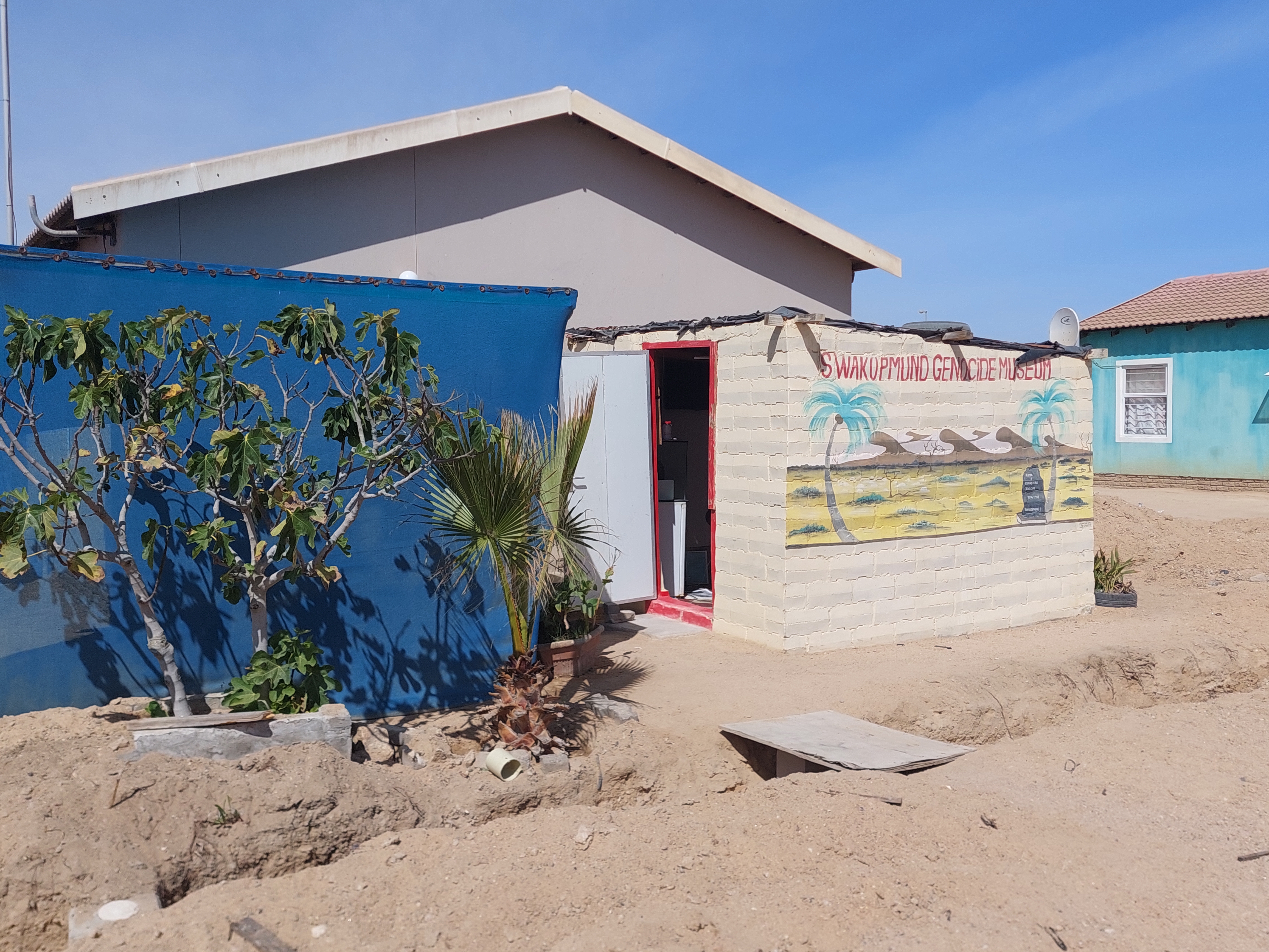
Given the above, imagine the loudness of the curiosity bells that began ringing in my mind when I found myself in an area called Matutura on my second day in Swakopmund. I was heading for an appointment with Laidlaw who has set up the Swakopmund Genocide Museum. I only knew the street name and number and not the name of the area. Thus it came as a nice surprise to me when in the taxi heading there I saw the sign of the area’s name to be Matutura. It couldn’t just be simple coincidence in name. I knew there must be something in that name without knowing what. It was therefore one of the first questions I asked Laidlaw after introductions. He explained to me that Matutura in the local language means – “The place we want to stay”. He told me the story of he was involved together with some of the residents in a former township to requests/agitate with the Swakopmund City Council to allow them to come and settle in the area. The City Council developed key infrastructures and built the houses which we sold to residents of that former township – different houses for different economic abilities to pay. From the little I saw, I can say that Matutura is relatively well planned spatially compared to Katutura.


There is a lot to unpack in the (post)colonial spatial planning process and legacies in both places and I will be happy to read a thesis or paper dealing with this topic. I’ll end here for as it the blog is getting long and almost becoming Chapter 1 of someone’s future thesis…
